
PROFESSIONAL EQUIPMENT / CANADA
Forestry drone rental.
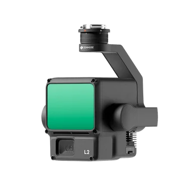
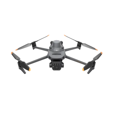
Match RGB, multispectral or LiDAR capture to forest structure, access and study objectives.
BUILT AROUND YOUR MISSIONFrom fieldwork to final deliverable.
PLAN THE CAPTURE
Start with the deliverable.
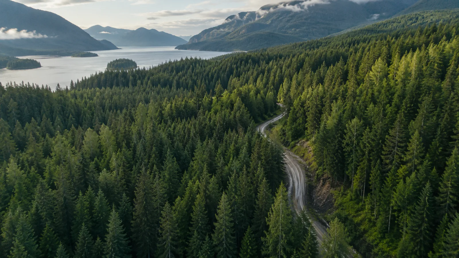
Dense canopy, changing terrain and limited launch sites require careful planning. Specify whether the priority is canopy condition, stand structure or ground surface. Remote access and battery logistics should be considered early.
Typical outputs
Canopy imagery, vegetation datasets and terrain-oriented point clouds.
Include in your brief
Canopy; terrain; access; study area; field duration.
SCOPE MY PROJECTExplore suitable equipment
Need the operator, too?
Request a drone and pilot together. The site, airspace, qualifications and deliverables are reviewed as part of project feasibility.
REQUEST DRONE + PILOT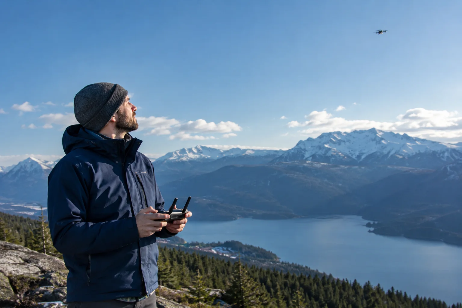
Where is your project?
EXPLORE INDUSTRIESYOUR NEXT PROJECT
The right system starts with the right questions.
Tell us where, when and what you need to capture. We’ll help scope the equipment around your work.