
PROFESSIONAL EQUIPMENT / CANADA
LiDAR mapping drone rental.
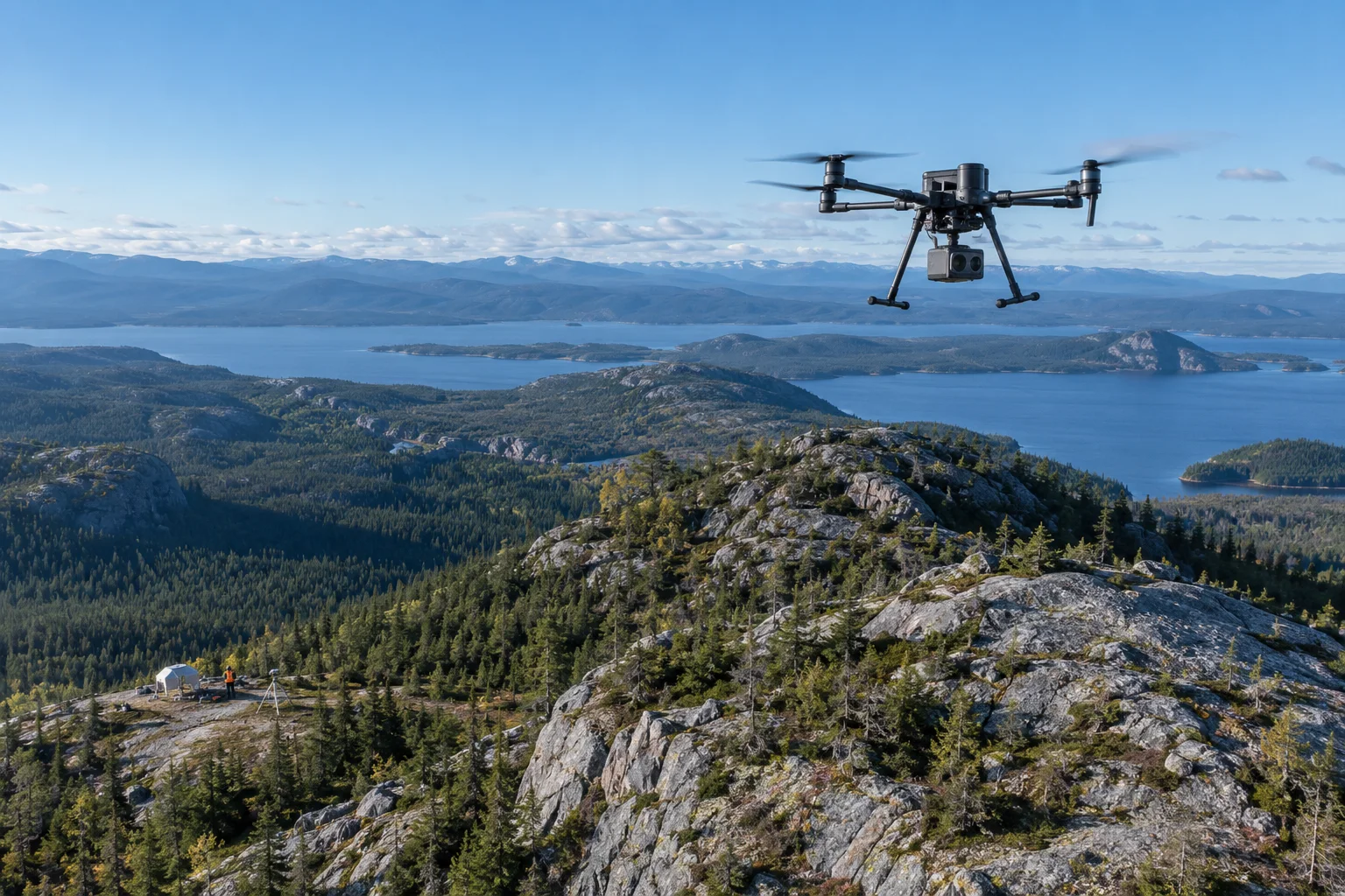
Capture terrain and complex structures as three-dimensional point clouds. Plan the aircraft, payload, positioning and processing as one system.
PLAN THE CAPTURE
Start with the deliverable.
Vegetation density, terrain relief and survey tolerances affect flight planning and processing. Define the coordinate system, control plan and required point-cloud deliverables before selecting a payload. Terrain visibility under vegetation varies with site conditions.
Typical outputs
Point clouds, terrain models and classified spatial datasets.
Include in your brief
Site area; canopy cover; coordinate system; vertical tolerance; processing scope.
SCOPE MY PROJECTExplore suitable equipment
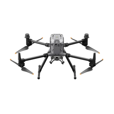
DJI Matrice 350 RTK
A modular enterprise platform for specialist payloads and demanding field workflows.
REQUEST RENTAL PRICING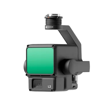
DJI Zenmuse L2
A LiDAR payload for terrain models, vegetation structure and spatial data collection.
REQUEST RENTAL PRICING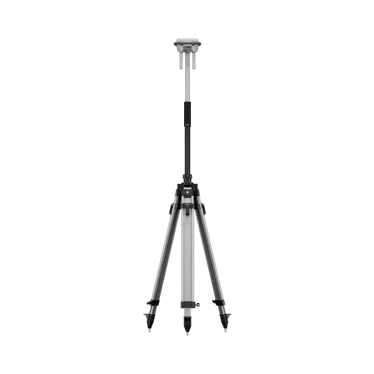
DJI D-RTK 3
A positioning accessory for compatible DJI enterprise survey and mapping workflows.
REQUEST RENTAL PRICINGNeed the operator, too?
Request a drone and pilot together. The site, airspace, qualifications and deliverables are reviewed as part of project feasibility.
REQUEST DRONE + PILOT
Where is your project?
EXPLORE INDUSTRIESYOUR NEXT PROJECT
The right system starts with the right questions.
Tell us where, when and what you need to capture. We’ll help scope the equipment around your work.