PROFESSIONAL EQUIPMENT / CANADA
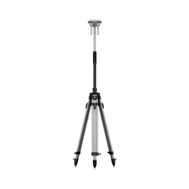
RTK positioning drone rental.
Build the correction and positioning workflow around your aircraft and the site’s connectivity.
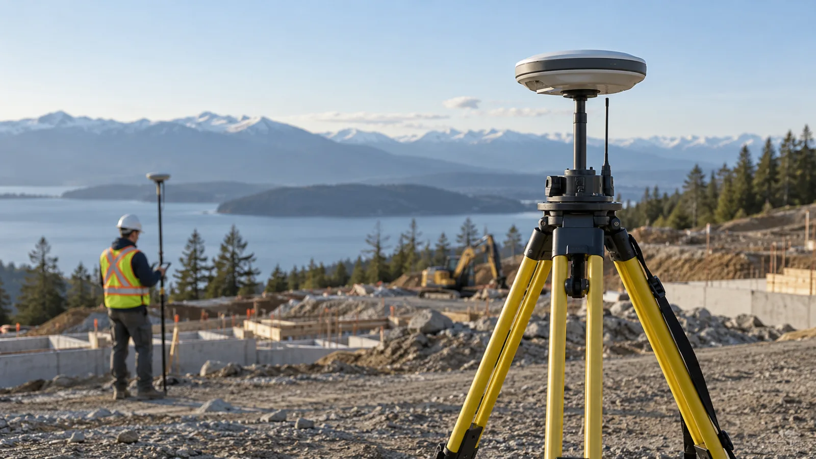
BUILT AROUND YOUR MISSIONFrom fieldwork to final deliverable.
PLAN THE CAPTURE
Start with the deliverable.
Confirm aircraft compatibility, correction access, coordinate system and required accessories. RTK status alone does not validate final survey accuracy; independent checkpoints and a suitable quality-control process remain important.
Typical outputs
Positioning-supported capture and georeferenced project data.
Include in your brief
Aircraft; correction source; connectivity; coordinates; control.
SCOPE MY PROJECTExplore suitable equipment
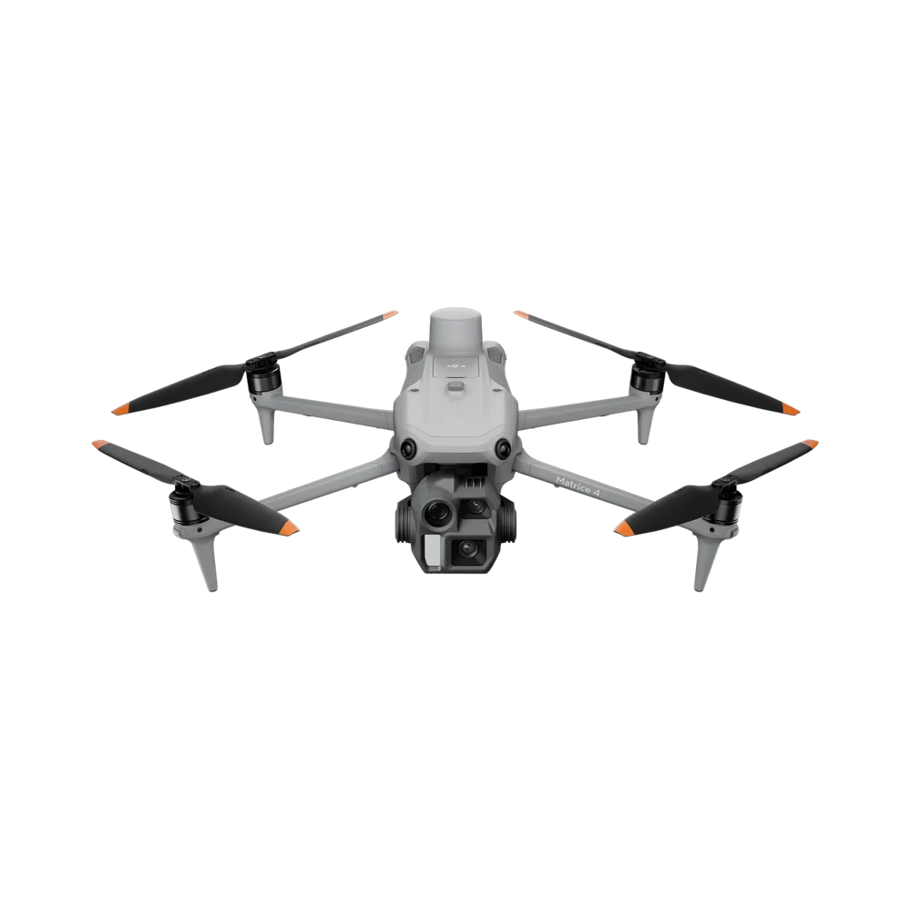
Need the operator, too?
Request a drone and pilot together. The site, airspace, qualifications and deliverables are reviewed as part of project feasibility.
REQUEST DRONE + PILOT
Where is your project?
EXPLORE INDUSTRIESYOUR NEXT PROJECT
The right system starts with the right questions.
Tell us where, when and what you need to capture. We’ll help scope the equipment around your work.